

Remote Sensing Reduces Wildfire Risk


Remote Sensing Reduces Wildfire Risk

For Arthur Torres, helicopters are a way of life — working on them, flying in them and now operating Southern California Edison’s Light Detection and Ranging (LiDAR) system that is attached to the bottom of them.
“I like to tell folks it’s a lot like sonar, but instead of using acoustics to detect where things are, we are using pulses of light or lasers that are sent out from hundreds of feet in the air,” said Torres, SCE advisor in Remote Sensing and Unmanned Aircraft. “We can map things on the ground, and we're able to see where our assets are in relation to its surroundings.”
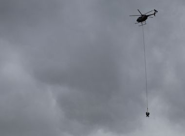
SCE pilots and remote sensing experts explain how LiDAR technology helps identify wildfire risks, improve safety and build a more reliable electric grid.
The technology is used to help detect and address areas of concern on the electric grid, before they become a problem. It's a technology Torres is uniquely qualified to spearhead.
Fresh out of high school, Torres joined the military as a helicopter mechanic with the 101st Airborne Division’s air cavalry. After his enlistment and a tour in Afghanistan, he left the Army and joined the Pasadena Police Department as a mechanic before becoming its director of maintenance.
When he wasn't turning wrenches, Torres was hitting the books. He graduated from Embry-Riddle Aeronautical University with a bachelor’s degree in aeronautics and master’s in unmanned aircraft systems — a fancy way of saying drones.
“I’ve been in aviation for about 20 years," he said. “I’ve always had a knack for troubleshooting and that is kind of what led me to LiDAR.”
After joining SCE’s Air Ops team in 2022, Torres was presented with the opportunity to get the LiDAR program off the ground. He jumped at the chance to flex his troubleshooting muscles and turn an early‑stage concept into a fully functional operation.
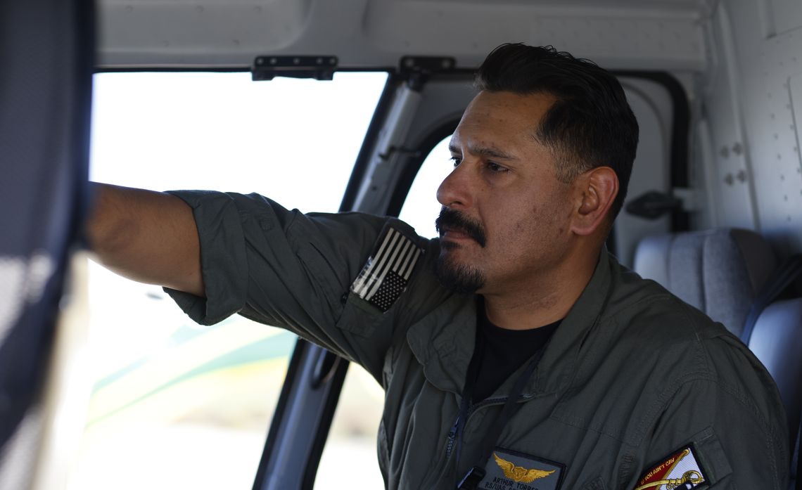
Arthur Torres, SCE advisor in Remote Sensing and Unmanned Aircraft, helps lead aerial LiDAR flights that identify potential wildfire risks before they impact the electric grid.
Since launching in 2023, the technology has been especially important for vegetation management and wildfire safety efforts.
“Vegetation Management uses LiDAR to locate areas where trees might be growing too close to power lines or other electrical equipment,” said Doreen Masalta, SCE senior manager of Vegetation Management. “Trees too close to power lines could cause a potential ignition.”
With over 1.6 million trees throughout SCE’s service area, proactively identifying those issues allows crews to respond quickly — trimming or removing the hazard and reducing the threat of wildfires. The LiDAR technology creates a model that shows not only where the trees are, but where the conductors are and the distances between the two.
“We can know if a tree is 5 feet away, 10 feet away, 15 feet away. And it helps us with efficiency in the field to actually do the tree trimming, and making sure we have proper clearances,” Masalta said.
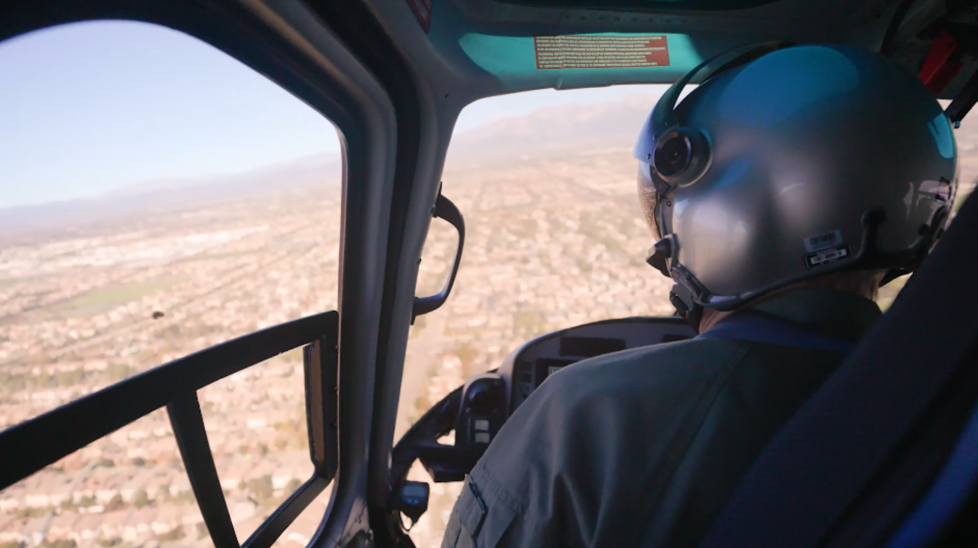
From the cockpit, SCE pilots help capture millions of data points that identify potential wildfire risks before they become real‑world problems.
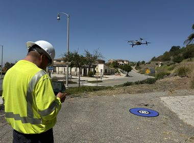
As the LiDAR program grows, the technology is being used in different ways, including adding it to drone operations, which helps free up the helicopter for higher impact work orders like Human External Cargo or aircraft-assisted pole replacements.
Separately, SCE's inspections team has also used it to check building clearances. Much like when a tree gets too close to power lines, there are safety risks; the same is true when a building is not built far enough from high-voltage equipment.
“There is nothing more accurate than the speed of light,” Torres said. “When we are able to address issues before they become a real problem, that means less outages for our customers and a smarter, more reliable grid.”
Communications around electrical safety are funded by ratepayers.